What the Casa Grande Ruins Can Tell Us About Arizona’s Future
 |
| The ruins |
It’s 9:00 a.m. on a Saturday in June and it’s already 100º F as I drive down a highway that’s 14 lanes at its widest point. Heading south out of Phoenix, I pass through exurbs of stucco houses, strip malls, and one chain restaurant after another. It’s not long before I exit the sprawl and enter into the vast irrigated fields of Pinal County, Arizona.
 |
| Layers of construction |
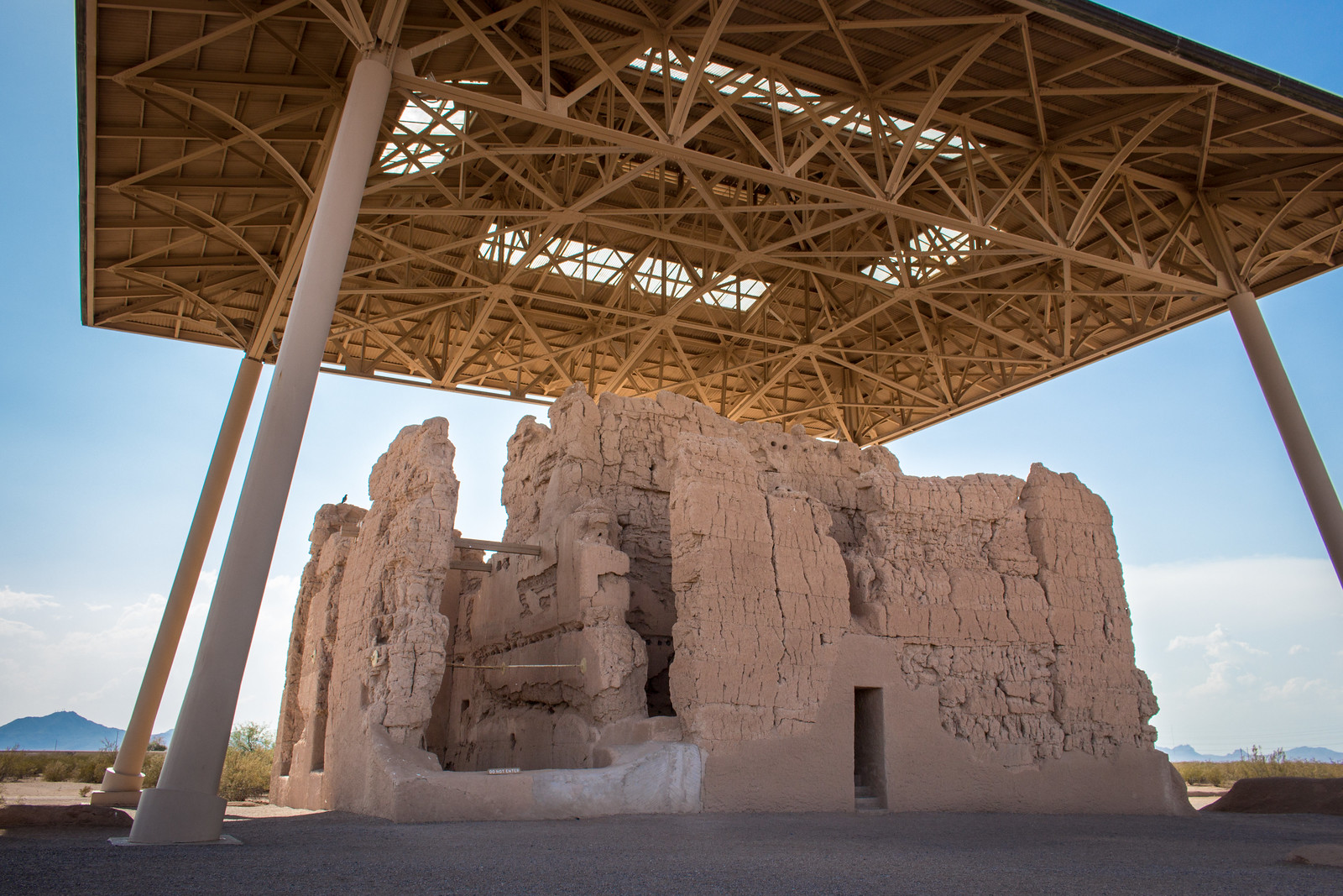
The miles pass by as I switch from one state highway to the next. Water from aquifers, from the Gila River, or carried uphill across the state from Lake Mead fills concrete-lined irrigation canals, forming a moat between the blacktop and bright green fields. Lonely farmhouses are surrounded by Italian cypress, Australian eucalyptus, or shaggy California fan palms, themselves forming another kind of moat around homes. All this continues until the fields give way to the natural creosote flats of the Sonoran Desert. A huge structure dominates this clearing: a crumbling earthen tower capped with a modern metal roof.
The ruins of Casa Grande represent the central compound of what was once a major farming village south of the Gila River. This Casa Grande, or “Big House” in Spanish, was built by the ancestral Sonoran Desert people. Their agricultural civilization, often called the Hohokam, had its basis in the largest system of irrigation canals in North America and it endured between 1100 and 1450 CE.
 |
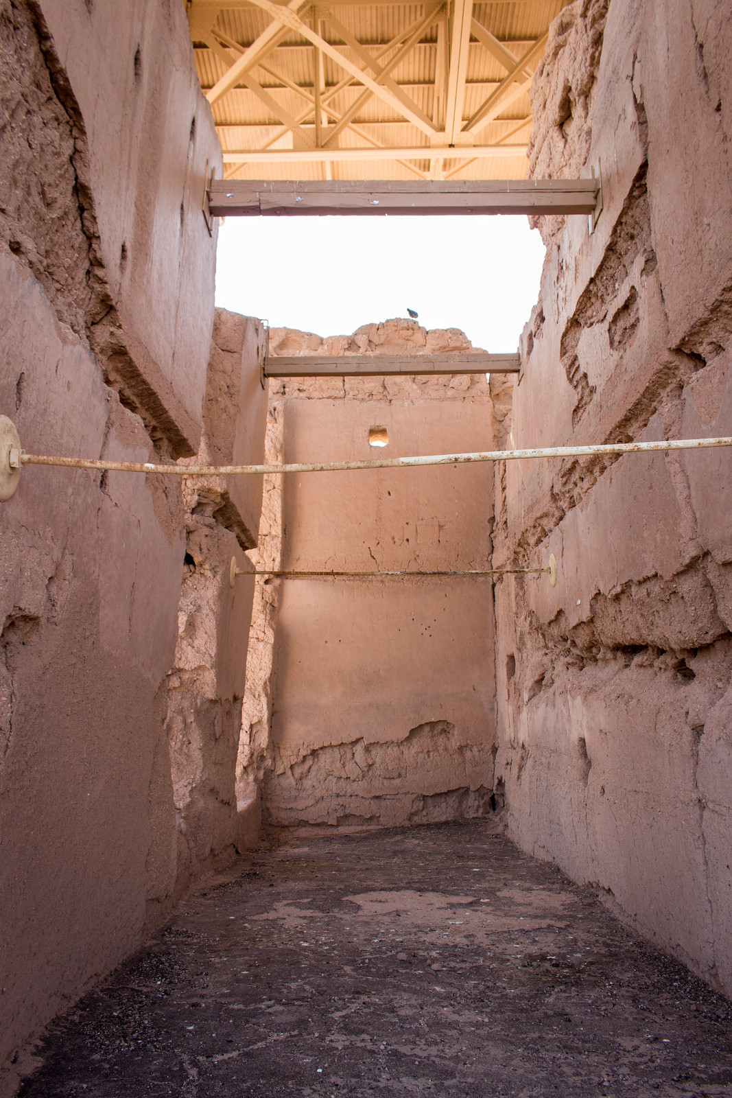
| Stabilizing beams |
Although the Hohokam civilization fell apart—whether due to droughts or floods or internal uprisings—the indigenous people who built Casa Grande are still with us today. The Akimel O’odham and Tohono O’odham people who live nearby consider them their ancestors, as do the Hopi and Zuni hundreds of miles to the northeast.
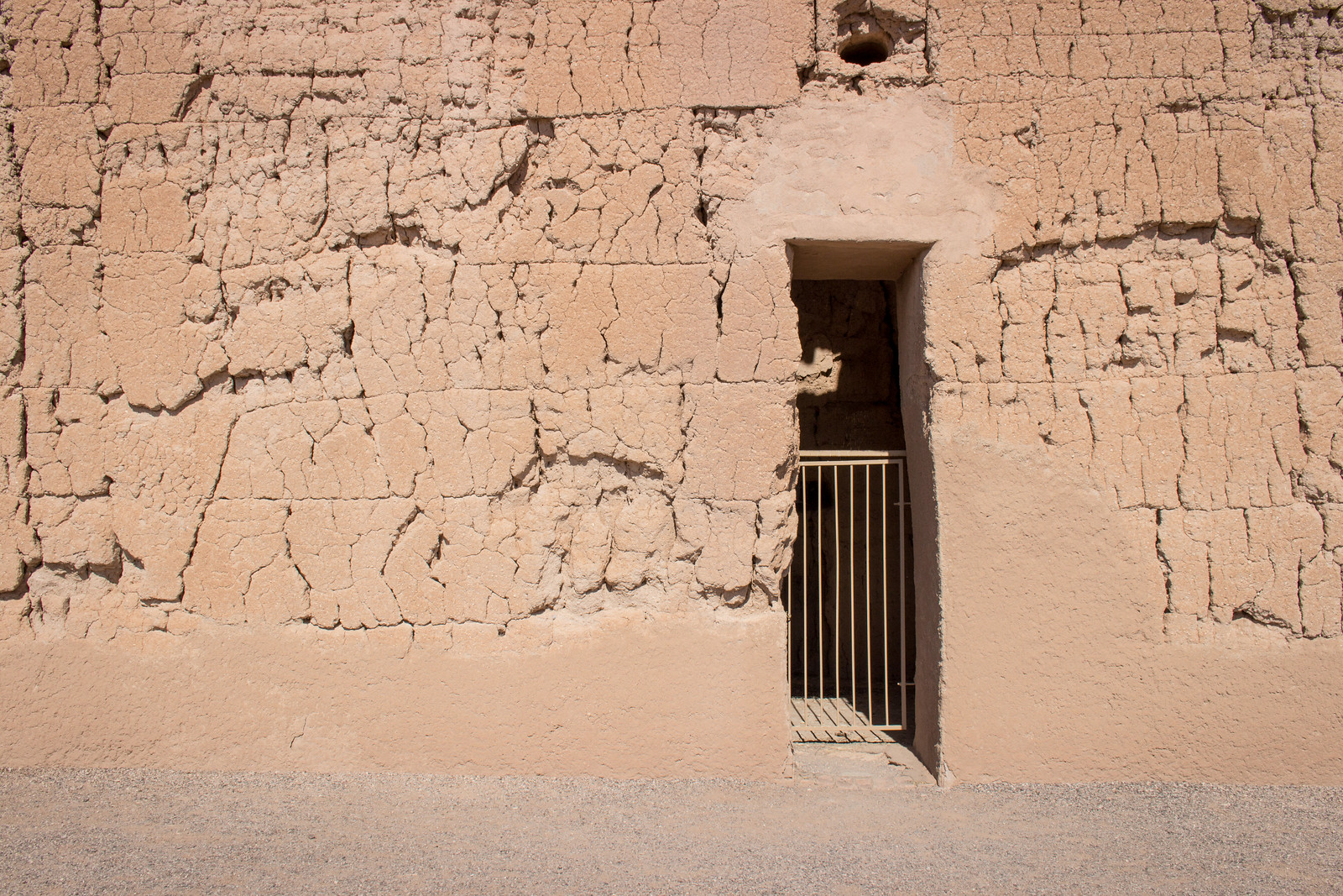
As I avoid sunburns beneath the protective New Deal-era roof, I can still see evidence from these ancestral people today. The walls are clean and smooth, sourced from the concrete-like caliche that precipitates just beneath the desert soil. Some of this finishing has fallen away, which reveals regular cracks between the layers of building material that were left to dry and then built on top of. Larger cracks in the ruins, however, recall the vast crevices that have emerged across Pinal County due to the over-pumping of groundwater.
 |
| Passageways |
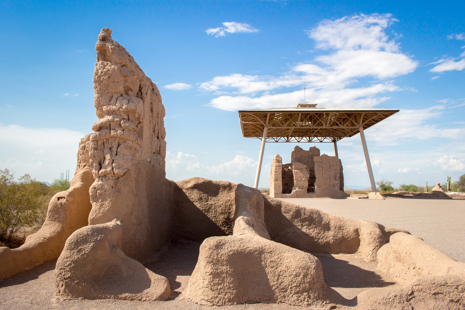
I look around and see lumpy remnants of shelters and storage rooms, cowering beneath the shoots of soon-to-be monsoon storms. This whole national monument is surrounded by fields that generate crops partly because of water piped in from the Colorado River, but I wonder…if we stay on our present course without taking any measures for conservation, will our civilization also crumble away like the Hohokam did?
The effects of climate change and over-development are already visible all around me: the farms of Pinal County will bear the brunt of cutbacks on an over-extended Colorado River water perhaps within the year. Meanwhile, suburban sprawl marches on even though new houses may or may not be assured a 100-year water supply.
The choices we make in the next few decades will decide if the Casa Grande Ruins will be joined by a Central Arizona Irrigation National Monument—or a Master-Planned Development National Monument—in the centuries to come.
 |
| Eroded structures |
How to get there
Casa Grande Ruins National Monument is located in Coolidge, Arizona, to the southeast of the Gila River Indian Community. Don’t punch the nearby town of Casa Grande into your maps application, though; it’s named after these ruins but is actually on the other side of a mountain range half an hour away.From downtown Phoenix, take Interstate 10 east toward Tucson (i.e., go south), getting off the highway at exit 185 for State Route 387. Follow the 387 to the 87, then turn south once you reach the intersection with the 287. The monument is across the road from the Walmart and the Sonic.

